Don't ever let anyone tell you that it doesn't get cold in the desert.
-
I saw on the news that it was National Parks week, and that admission to all the parks was free. Well, I've been fighting bankruptcy for the past several years, and I was tired of watching every penny so, a little late in the morning, I admit, I drove from Los Angeles to the desert, and Joshua Tree national park.
-
After entering the park, I drove to the turn-off into Lost Horse Valley, and pulled into the Juniper Flats Trail Head parking area of the California Hiking and Riding Trail. With a week to go to May, a time of the year when it would normally be pretty warm in the desert, well, it wasn't. It was cloudy, the wind was blowing, and the temperature couldn't have been much over 50. Throw in the wind chill factor, which I can't explain, but I know it when I feel it, it was chilly. The shorts I was wearing weren't a problem, but I was lucky that I had decided to bring both a sweater and a jacket.
-
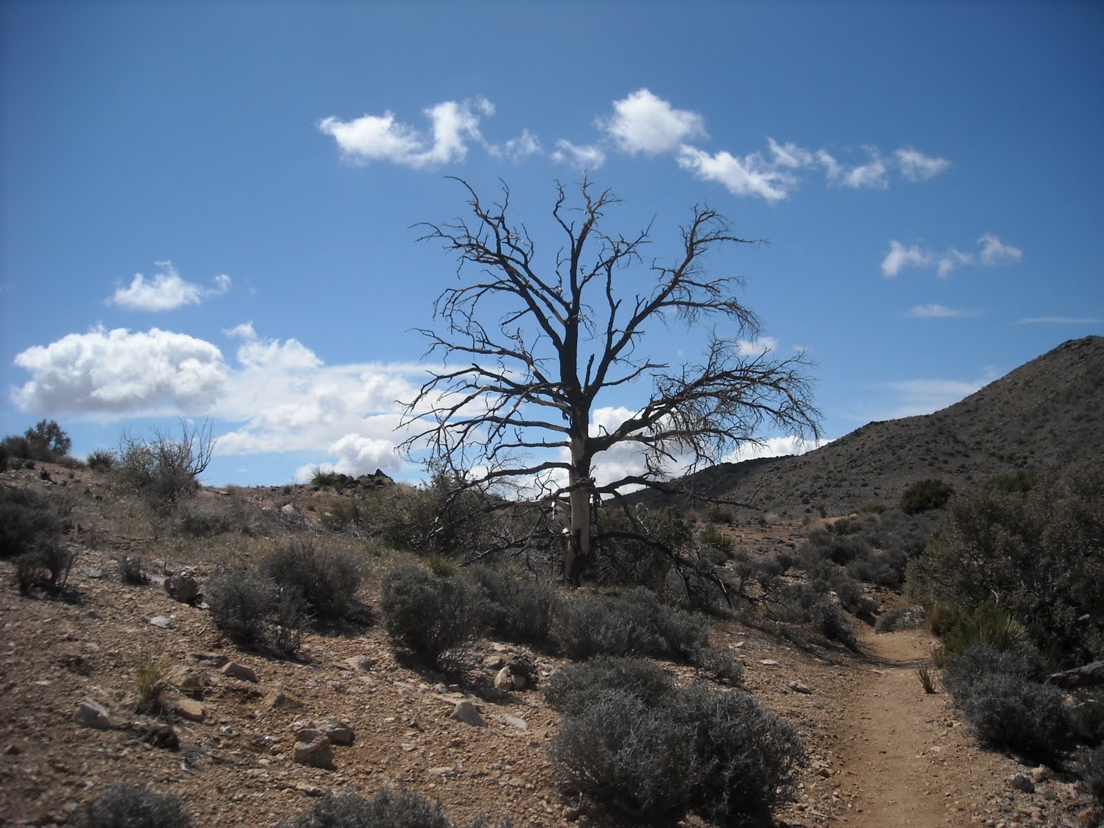
A short spur, a hard right out of the parking area, soon had me on the California Hiking and Riding Trail. I made a left, and headed west on the trail. It's an easy start. The trail, while sandy, has good footing and the general climb for the next few miles isn't steep enough to present any problems. Hiking in the Angeles National Forest and the Santa Monica Mountains, while beautiful, it's often difficult to escape the city. There are lots of places where the sounds of the L.A. urban area can be avoided, but it's also true that after miles of walking, it's possible to turn a corner on the trail and come across graffiti. And as someone who enjoys hiking at night, that night time glow is hard to avoid. Joshua Tree is a whole other experience. While physically close to L.A., Palm Springs, and San Bernardino, the size of the park, the lightly used trails, and the Joshua Trees themselves, is a reminder that the United States was once a vast wilderness, seen by few people.
-
One of the interesting features of the trial is the placement of mileage signs every mile. It's nice to know just how many miles walked, and it also makes it a bit easier to think ahead. Right past mile marker 20, (I picked up the trail a little past mid-point, and the first post I hit was mile marker 19.) there is a turn off to the Stubbe Springs Loop. I wouldn't trust that there will be water at Stubbe Springs. While I decided to stay on the trail, and not turn off, I have, in the past walked the loop, and never found the spring. With a detailed topo map, it might be easy to find water, but the trails in the Park are well maintained and simple to follow, so maps, beyond the one in the park brochure given out at the entrance gate, aren't all that necessary.
-
In this section, the trail gains elevation along the side of a broad, desert valley. As I went along through this section, the batteries on the palm sized camera died, so I was freed from taking pictures, and things sped up a bit. Eventually it crests in a flattish section at the head of the valley, and then tops out at the edge of a canyon. I followed the trail down into the canyon, switch-backing a few times. As I dropped ever lower, I was finally shielded from the wind, and at last, I was able to take of a few layers. Too, I looked up and there was clear, blue skies above. A bit of a trick, since before going down into the canyon, I had seen dark, black clouds on the horizon line. At mile marker 25, on the bottom of the canyon, I took a break, and enjoyed the first real sun of the day.
-
Of course, the ease of going into a canyon, is followed by the climb back out. The switch-backs make it a reasonable walk up. At the crest, I could see that the dark clouds had started to move in my direction, so I picked up the pace back to my car. The winds were getting stronger and the temperature was dropping. I remembered a few years earlier when what started out as a nice, winters walk, ended up in a snow storm. It may have been the desert, but I was slogging through ankle deep snow, by the time I got to the car. No snow on this trip, even though it felt cold enough for it. Just rain, a mile from my car.
-
At the Stubbe Springs Trail Loop sign, there is also a mileage sign listing the distance back to the trail head as 1.5 miles. I walked five miles beyond that, so that gives a total distance of 6.5 miles one way, 13 round trip. The sign board at Juniper Flats lists the trail's length as 35 miles. Pictures to follow in the next post.