Cave Mountain is the large pyramidal shaped peak about 30 miles north of Barstow, California on I-15. For those traveling north towards Las Vegas, it's easily seen, not as part of a chain of mountains, but as a solo mass just past the Afton Canyon exit.
-
It had been at least 15 years since I had last scrambled to the top. I exited the Interstate at Afton Canyon, drove a half mile or so, and at the distinct turn off to the left near the high tension wires, parked the car. It was early in the morning and late December, and I knew that I would need most of the daylight to get to the top and back down again. It didn't help that I had pretty much forgotten the route I had used the last time I climbed Cave Mountain, and that I would have to spend valuable time in route finding.
-
As I walked along the dirt route on the backside of the mountain (I thought of the side along the Interstate as the front side.) I scanned the ridge line looking for a good, safe route to the top. After having crossed a wash, as the road seemed to brake away from the mountain, I left the road and began working my way up hill. In a long angling walk, I made my way towards a distinct, sandy section on the ridge line. It was steep, and for every three steps in the sand, I slide back one, but in time I made it to the top. Between me and Cave Mountain, there was a steep walled canyon. And then it hit me; all those years ago I had stood on the exact same spot and looked down into the same canyon. What had seemed like the most direct route to the top 15 plus years earlier had led me to repeat a route I had forgotten. Looking to my right, I could see a flat area at the head of the canyon and I could see that after crossing that flat, I could get to a rocky, hand over hand section that I could use to get to the peak.
-
The fact is, I would have been easy to follow along the ridge line and down to the flat, but instead, I reversed myself, slid down the sandy slope and took a route that followed along the side of the ridge, and then climbed up and over the ridge and on to the wide flat area. As I gained altitude, looking over my shoulder, I could see that if I had stayed on the dirt road that I had first used in my approach, I would have been able to avoid the sandy slope and ridge line altogether. Of course, I wouldn't have had the great view down into the canyon that separated that ridge from Cave Mountain, so I was quite happy with having left the road early.
-
It was getting towards mid-day, and I was surprised that the fog that had been in Afton Canyon when I started in the morning was lifting rather than burning off, and that the peak was now somewhat obscured. I made sure that my handholds were solid and that my feet were on stable ground as I worked my way up the steep side of the mountain. Cave Mountain is not a technical climb and no ropes are needed , but I was very aware that if I tried to pull myself up on a loose piece of rock, it would be a long way before I'd come to a stop. As I made my way higher, the fog began to finally blow out, and I could see a cairn with a post sticking out of the top. It wasn't long before I reached it and gained the peak.
-
The top of Cave Mountain isn't the classic, pointed peak, but a flattish, rocky area. While I assumed that the cairn was the true, highest point, I would have needed an altimeter to be sure. For the next hour, I enjoyed the views from the top. While climbing the backside of the mountain, all I could hear, other than my own footsteps, was the wind. Once on top, I could hear and see I-15 to the west. Beyond the interstate is Fort Irwin, an army base. It had rained for the better part of a week before my trip, and the Mojave River,that has been mostly dry since the building of Silverwood Lake Reservoir, (Afton Canyon is one of the few sections of the river that has running water year round.) was like a long ribbon of silver, as the sun reflected off all the water that meandered from side to side of the very wide river bed. The Mojave is a basin and range river, that runs from the San Bernardino mountains to the south, before sinking into the desert north of the canyon. What are usually dry lake beds were the water once evaporated in the desert heat were full, a very rare thing now. Clouds swirled up from the desert floor. There was also a USGS survey marker, dated 1929. Rather than being stamped Cave Mountain, it's stamped El Frio, the cold. The surveyors who climbed the peak all those years ago must have done so in the winter. It does snow in the desert from time to time.
-
As much as I hated to leave the peak, it was soon time to head back down. I made for the road rather than repeating my cross country route. I like to use the BLM campground in Afton Canyon as a base for my high desert trips, but with all of the rain the previous week I had decided that I didn't want to risk getting bogged down, so I left the cabin tent at home, and once back at the car I prepared to bed down in the back of my Volvo station wagon. It was dark when I set up the camp stove and cooked dinner, and was quite surprised when the head lights of a pick-up truck, coming up from the canyon, lit up my camp sight. I grabbed a flash light and decided to walk down the road and see if it was safe to drive. There were some large pools of water, and I would not have risked driving down into the canyon, but it wasn't a problem to walk down to the river. The campground was deserted and the sound of the water was more like a cascading mountain stream than the slow trickle of a shallow desert river. I sat by the river, turned offthe flashlight and listened to the water. The night sky was clear, and stars could be seen from canyon side to canyon side. There is a railroad through the canyon. When a train went by, the engine cabin, the only thing with artificial light, seemed to move south, suspended in a dark landscape.
-
Pictures to follow in a separate post.


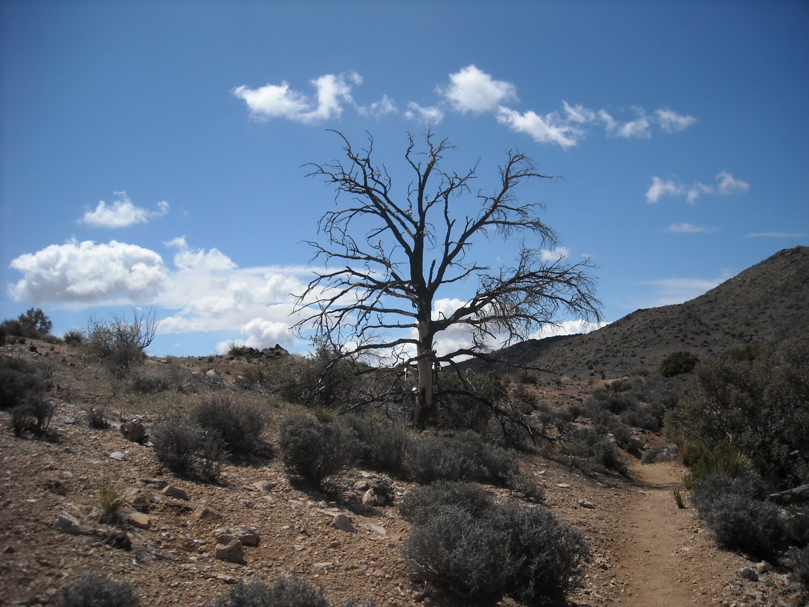
 The last picture in this group was taken just off of Basin Road, at the north end of Cave Mountain on the day after the other pictures.